
One of the most common questions we get when we tell people we are traveling for 15 months is whether we have the trip all planned. The short answer is ‘kind of…’ As detailed on “The Plan” tab of the blog, we have a rough idea of where we want to go and when. We developed this plan over a couple of years, compiling a list of cool spots from articles online, friends’ trips, and recommendations from all sorts of people with a variety of interests. While we love the outdoors and national parks, we wanted to make sure our trip has variety and that we don’t overlook lesser known gems of the country. I knew I didn’t want to do more driving than we needed to, so wanted to ideally just do a single loop of the US, with minimal retracing of steps. Our rough trajectory came together by talking through our route with our friends and family and making refinements each time we talked about it. The route really took shape when I spent a week in Bend with my parents and sat down to look at the map with my Dad, who had some very helpful recommendations (including extending our trip from a year to 15 months to get two summers!).
Before we left Portland, my goal was to have a detailed plan for the first month of the trip, including a rough idea of where we would spend each night and how long we’d spend at each stop. This didn’t really happen, partly because it was overwhelming to think about and because it seemed hard to make so many decisions without knowing how we would feel when we got there. Maybe I also felt less motivated sitting on our couch at home and it was easier to just say we’ll figure it out as we go. So when we left Portland we really only knew our first three stops – Seaview, Seattle, North Cascades. Fortunately, it has been way easier to plan on the road than I expected and a lot less stressful than I imagined. I worried our days would be consumed just trying to figure out where to sleep and what to do, so we’d spend more time planning than doing. In reality, I feel like we spend very little time planning and I can mostly figure out things between searching on my phone while David drives (if only I didn’t get carsick this would be enough), coffee shop stops every few days, and some phone time before bed.
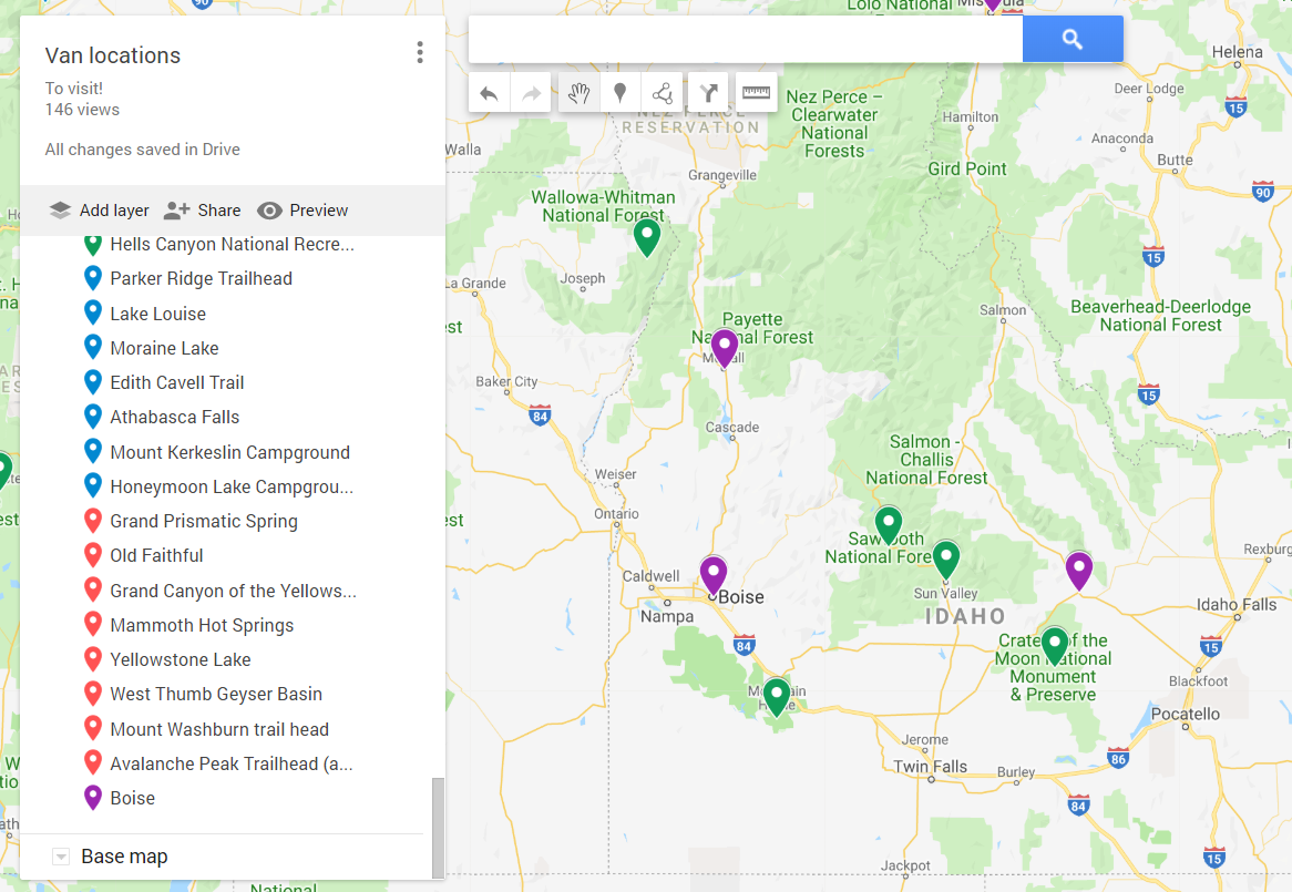
To try and better illustrate what our planning looks like, here is how we figured out what to do in Idaho:
- Initial internet searching to develop a map of places we wanted to stop. I like to look at a mix of blogs, with at least a couple focused on the outdoors and backpacking. I’ll also typically look at tripadvisor and state tourism sites. For Idaho, I heavily relied on the Traveling Spud and Visit Idaho. I mapped the spots on our Van Locations google map. The spots included: Hells Canyon, McCall, Boise, Sawtooth National Forest, Sun Valley, Craters of the Moon, and Arco (the lowest green spot is Bruneau Sand Dunes, which we added to the list later).
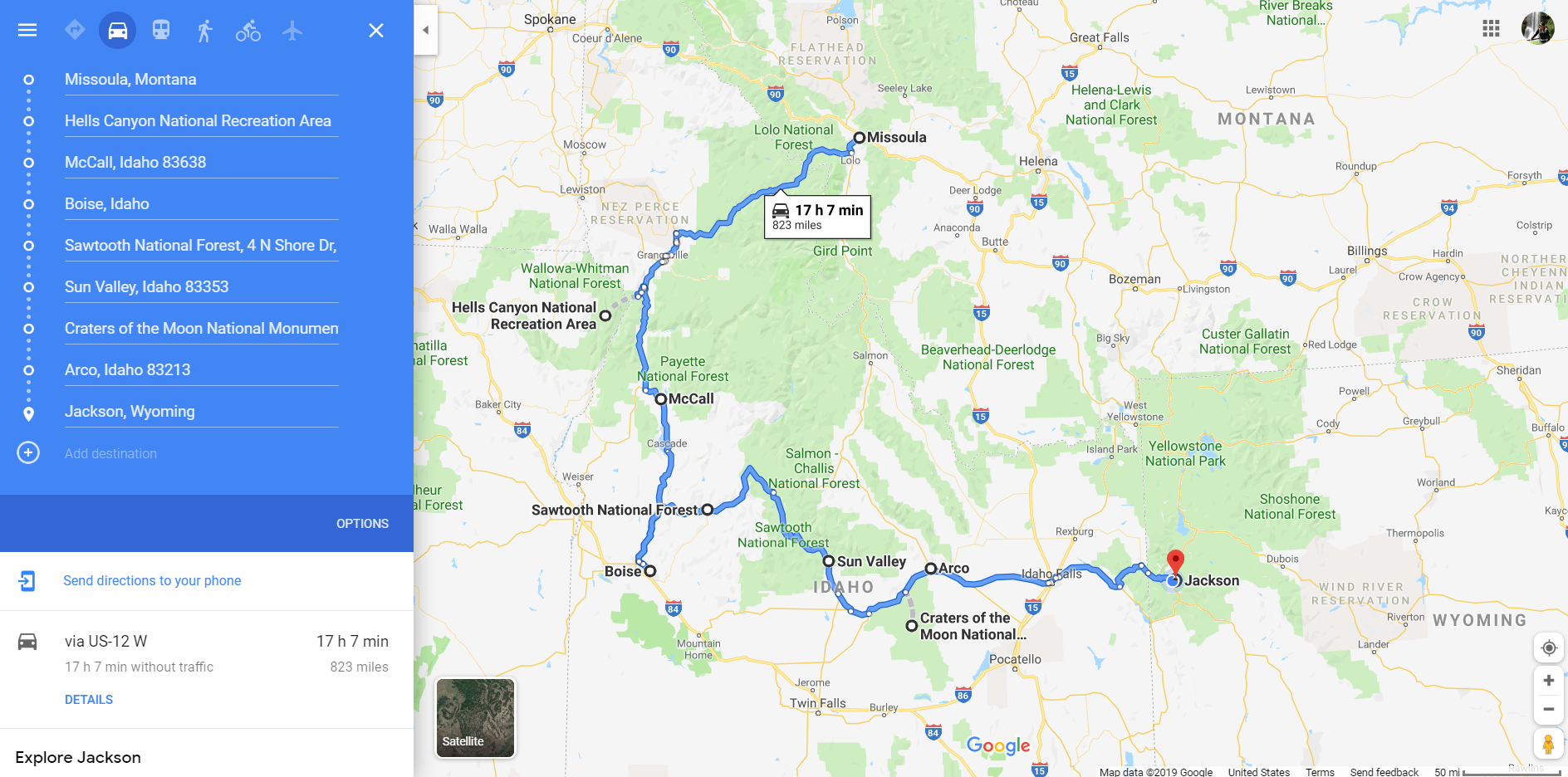
- Google Maps experimenting to determine a desired route. I put the locations in Google Maps in the order I thought would make the most sense, starting with our current location and ending with our intended next stop after Idaho. Then I played around with it a bit to optimize the route and make sure none of the stops would add a ton of extra time. If something is really out of the way, I then do a little more research to decide if we want to drive that far. The map below shows the route I originally developed, although we ended up adding Bruneau Sand Dunes after I saw a sign about it at a rest stop and remembered one of my coworkers, Molly, talking about stopping here on a Boise trip. The sand dunes are located southeast of Boise, so with this stop it made sense to go to Sun Valley and then the Sawtooth National Forest (and then retrace our steps back to Sun Valley and on to Craters of the Moon).
- Detailed planning for the first stop. While in Missoula, I did some planning for our first Idaho stop, Hells Canyon National Recreation Area. We spent about an hour before bed at Big Sky Brewing laying out on their lawn watching the sunset, and I mixed in some phone searching. I wanted to go backpacking, so did some Google searching of “backpacking Hells Canyon” and read a few blogs and All Trails reports. Smaller destinations like this are harder to find information on compared to major national parks or big cities. I cross-referenced recommended backpacking trips with our route, and determined the most on-the-way stop was Seven Devils Loop. I also saw a few references to a lookout near the loop, Heavens Gate, so we decided to stop here.
- Changing plans as needed. Typically our plans morph at least a little as we go. In the case of Hells Canyon, we ended up changing our plans significantly given predicted storms. I usually do some more phone searching while David is driving to get a better sense of the area and, in this case, knew about a free campground at Seven Devils (some people referenced staying here before hiking the loop). Therefore, when we decided backpacking wasn’t a good idea with the weather it was easy to adapt our plans.
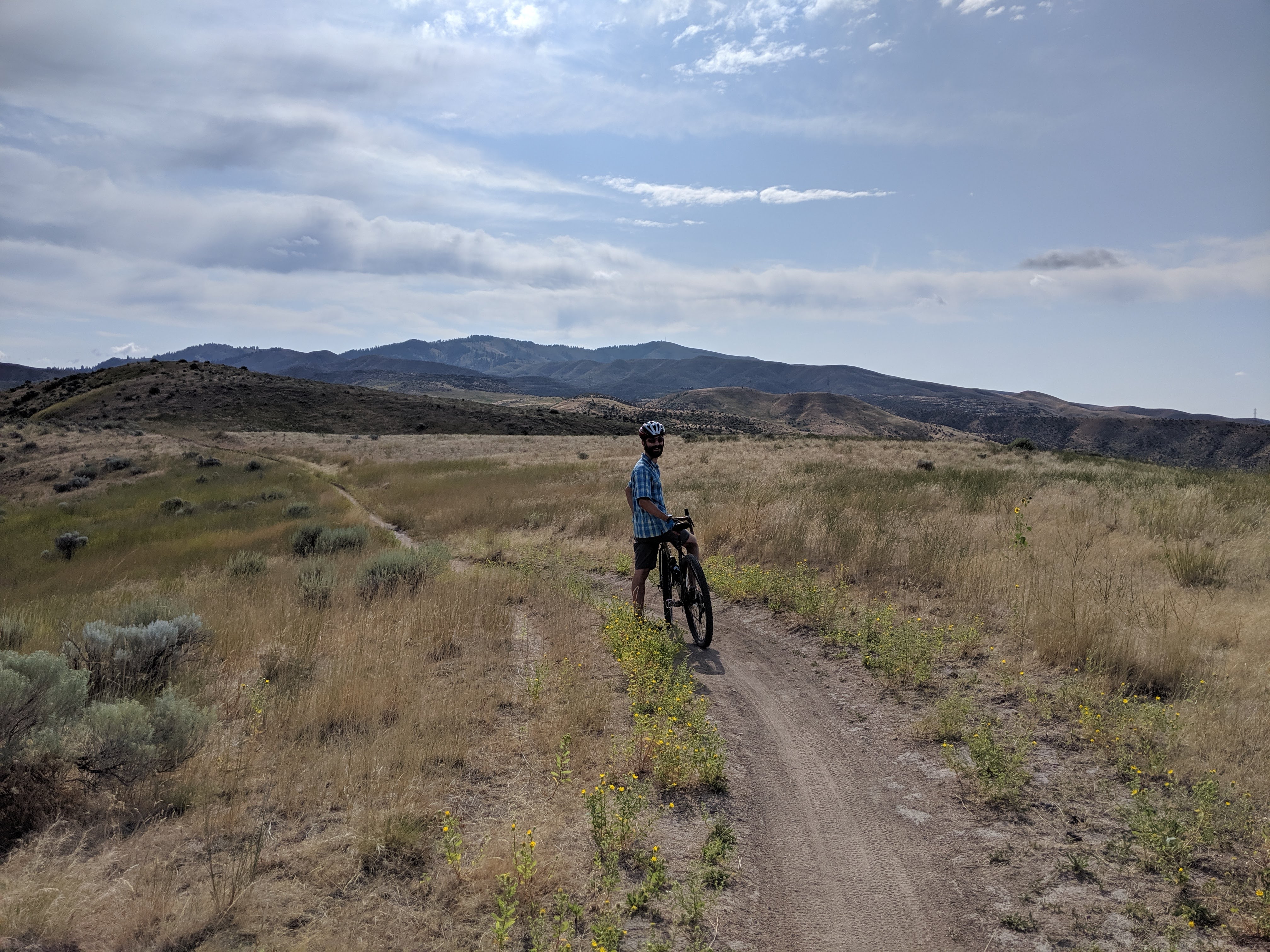
- Continuing to plan as we go. The next stop after Hells Canyon was McCall. I did some quick searching as we started the drive, focusing on where to stay, bike rides, and breweries. We like to alternate between hiking and biking to avoid overuse injuries and keep things more interesting. When thinking about where we’ll stay, I usually look at iOverlander, which has a huge variety of places to stay, including official campgrounds, public land camping, random free spots like Walmarts and casinos, and acceptable boondocking locations on public roads. I’ll also check prices at campgrounds in the area, as I’ve found there is a huge range, generally from $12 to $50. Sometimes I’ll do some google searching to see how accepting it looks like the City is of parking overnight (some cities seem to be much stricter while others will list places overnight parking is allowed). I’ll also look for good spots in residential areas (defined by me as areas with commercial mixed in, rental properties, or a park where we can avoid being in front of someone’s house). We hadn’t decided what to do for the night when we arrived in McCall late morning, but found parking on a street with a mix of houses, businesses, and new home construction. While we hadn’t intended to stay there for the night, we realized after parking it would be a good overnight spot and that we could just bike around for the day. In terms of where to bike, I rely on the app Trailforks, which is super comprehensive and provides detailed information on bike trails (which helps us figure out if our gravel bikes are up to the trails). I saw a loop near downtown McCall in Ponderosa State Park that looked like a good distance and difficulty level. Since the trail was near a lake and the weather was warm, we brought along our swimsuits and tagged on a jump in the lake afterwards, which served as a good cool off and easier alternative than taking a shower. If we want to stop at a brewery, restaurant, or coffee shop, I typically use google maps and its reviews, while occasionally looking at blogs or other websites to get intel on the most interesting breweries. In McCall, I picked Broken Horn Brewery, as the Google Reviews made it sound less touristy than a couple of the breweries right downtown. It was also an easy bike ride to the brewery from our van on a bike path. The last thing I typically check is an events calendar for cities we go to in case there are interesting concerts or farmers markets. In McCall, we visited the Saturday morning farmers market before leaving town.
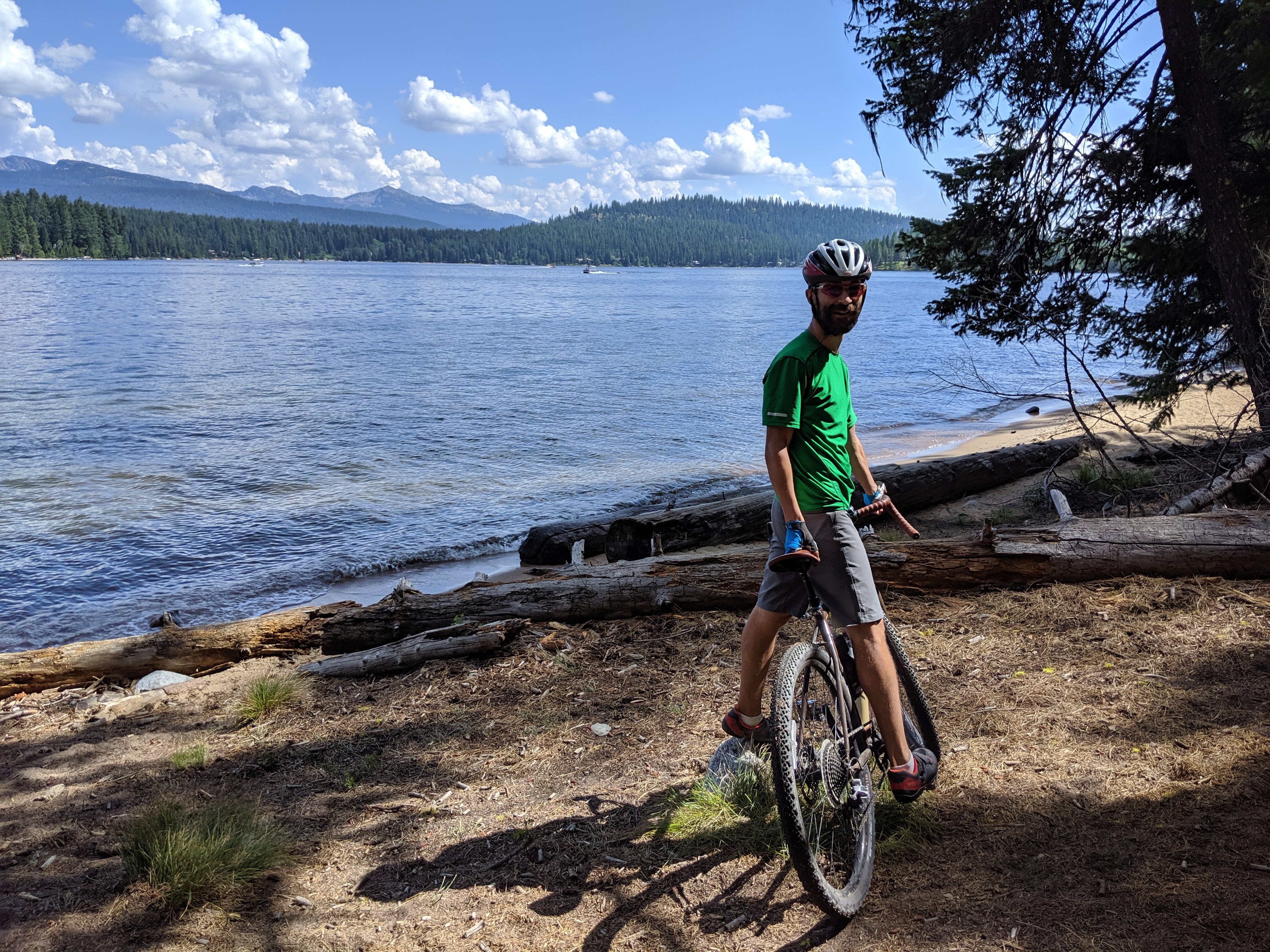
Lake view during our bike ride at Ponderosa State Park. 
Broken Horn brewery and surprise live music! 
Burgers at My Father’s Place, recommended by the Traveling Spud. The veggie burger was A+! 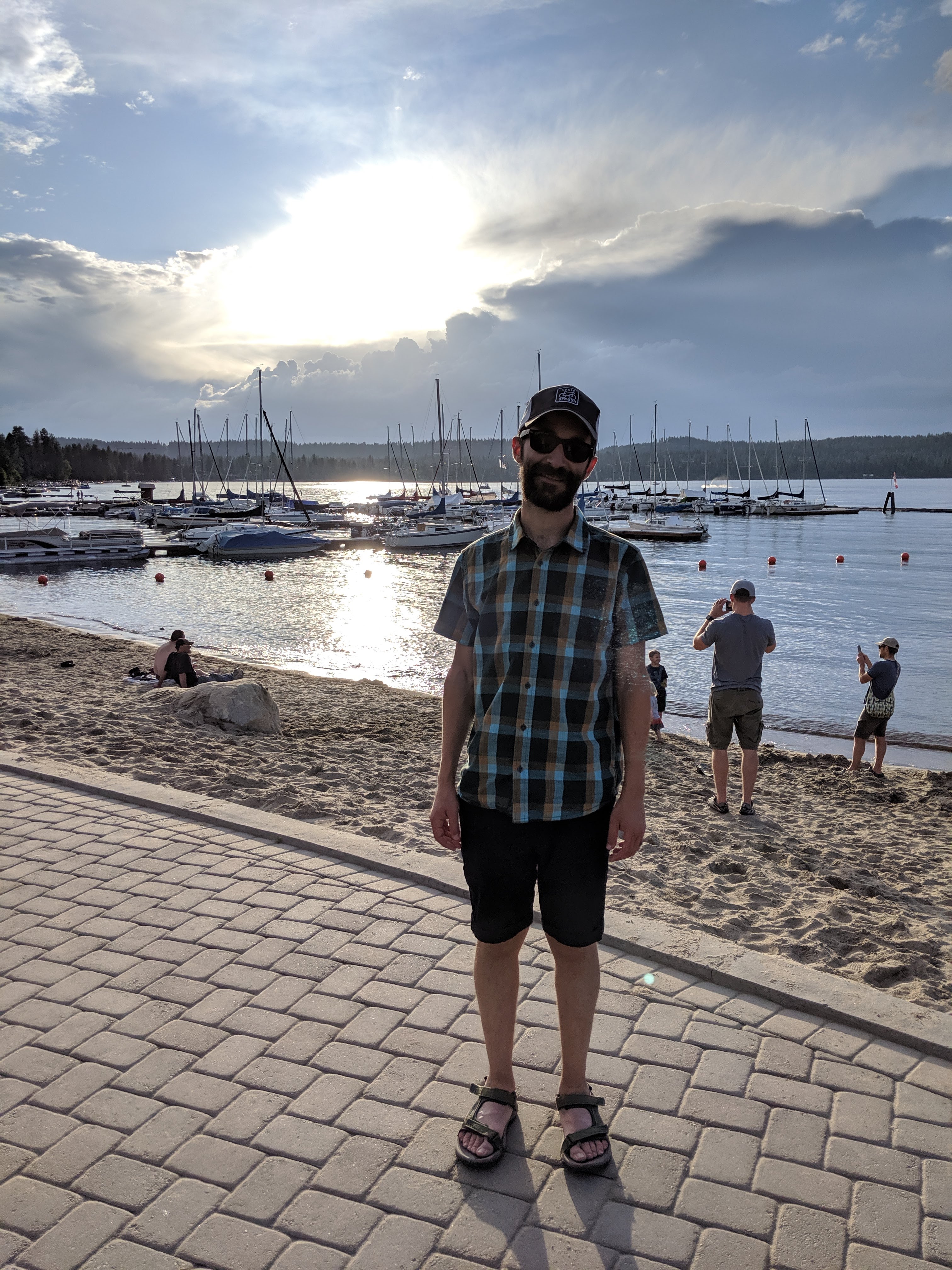
An evening stroll around McCall. 
McCall parking spot.
- And repeat, repeat, repeat. This is the approach we take to most of our stops, varying things a bit if we are in city or at a nature area. We also do a search every couple days of dump stations using sanidumps.com and gas prices on gasbuddy.com so we can be strategic with our stops. Typically if we plan ahead, we can find free dump stations and water fill ups and avoid the places with fees. I think so far we have paid for maybe two dump stations.
All in all, we greatly enjoyed our time in Idaho and can tell why it is tied for the fastest growing state in the United States. The huge variety of scenery, lack of crowds, amazing skies, eclectic breweries, and bike trails made for a great visit. Here are some photos to tell the story of our other Idaho stops.
Boise
Biking in the Boise foothills. The gravel bikes handled the sandy dirt no problem! 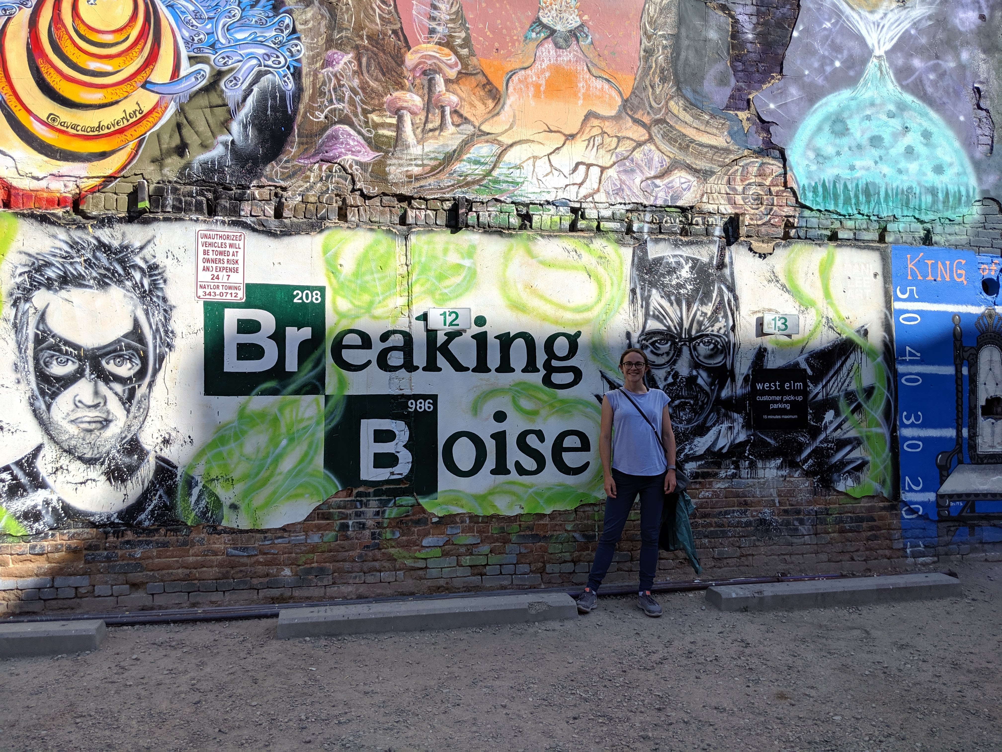
Freak Alley Gallery – I love graffiti art. 
Barbarian Brewery- try the Skittles sour. 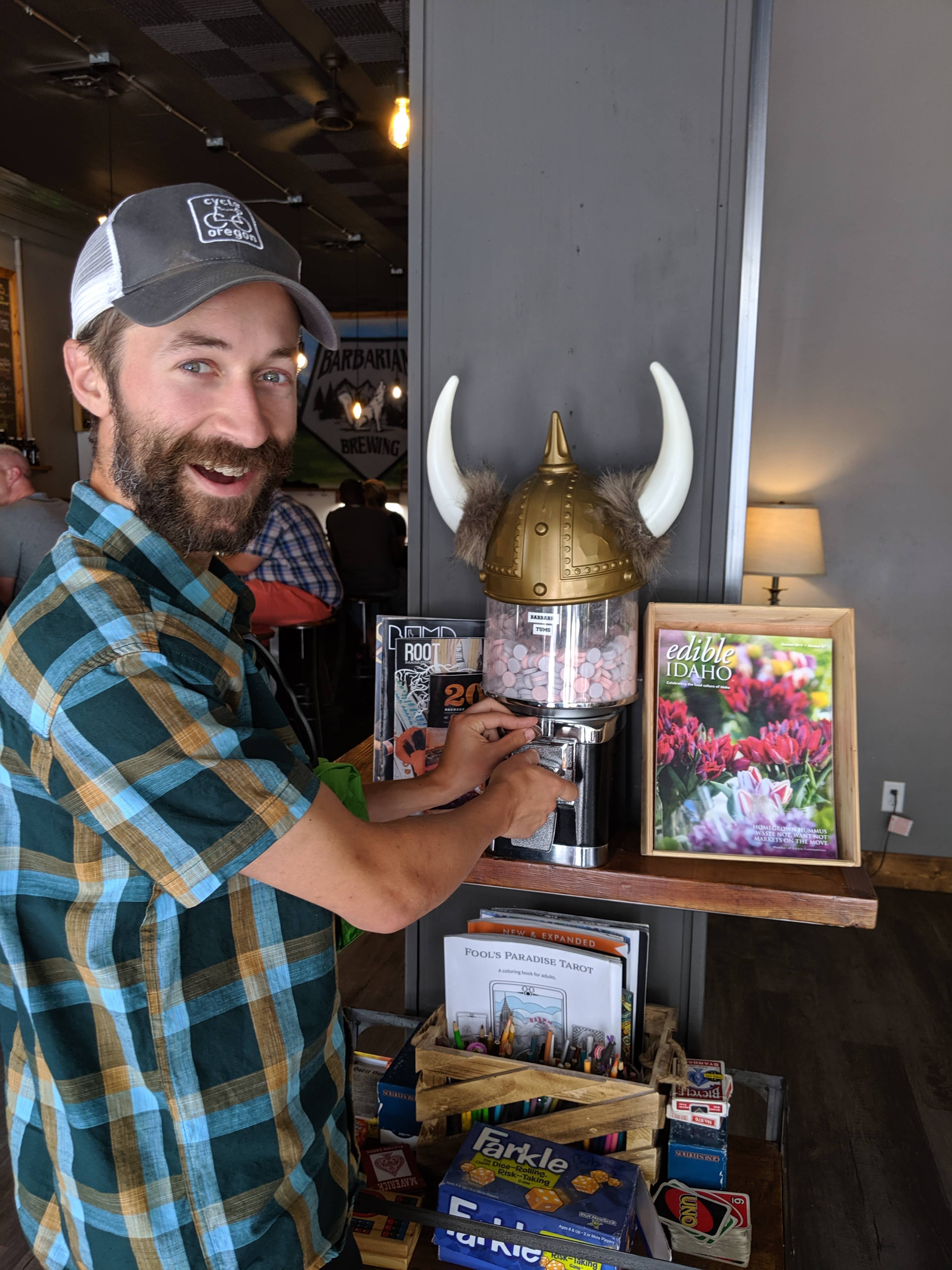
Tums dispenser at Barbarian Brewery – very needed. 
Sunset from Camel’s Back Park. I was so impressed with all the parks. 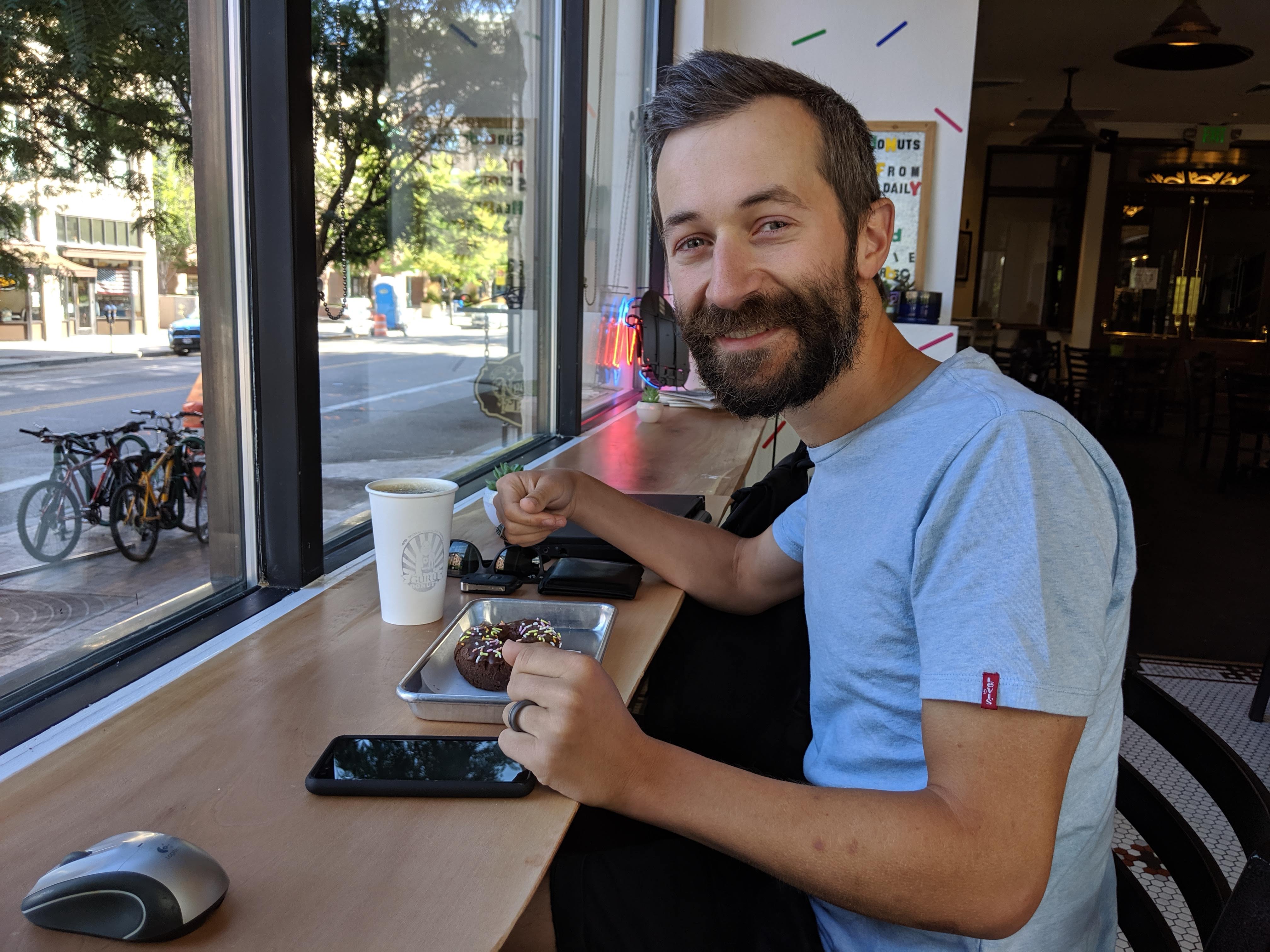
Guru donuts – a must-do for David.
Not pictured – we had an amazing dinner with my former coworkers Andy and Sonia and their adorable two girls and a fun lunchtime visit to Kittelson’s Boise office. Boise remains one of my favorite cities (I loved it ever since my mom and I stopped in during our road trip for my Portland move). The proximity to the outdoors, lively downtown, cool neighborhoods, and bike trails make for a lot to do!
Bruneau Sand Dunes
We almost didn’t stop at the sand dunes, as they made for a bit longer route to the Sawthooths. I’m so glad we did, as I found the sand dunes fascinating! The park includes the “tallest single-structured sand dune in North America with a peak rising 470 feet above the surrounding desert floor” according to Idaho State Parks and Recreation. David made the mistake of wearing sandals for the short hike around the dunes, so he turned back after we hiked up the first dune as his feet were being burned by the scorching hot sand. I continued on, thinking I’d be back at the van in no more than an hour. Several hours later I called David to send in a search party for my Fitbit. I broke the band a few days ago so it had been falling off constantly and I lost it somewhere near the end of the hike. I couldn’t find the trail through a large section of brush so after searching for about thirty minutes just pushed my way through some small trees and bushes, still in the sand. When I got through and saw the trail on the other side, my excitement was quickly sapped by my realization I was no longer wearing my Fitbit and couldn’t remember when I last had it. I assumed it was lost in the brush, but couldn’t find it after retracing my steps several times. I worried the sand had buried it as each step resulted in a small sand avalanche. I eventually climbed all the way back up the sand dune, but still no Fitbit. David saved the day by coming with a water bottle and an app to search out the Bluetooth signal of my Fitbit and after about 15 minutes of collective searching we found it, in the brush just where I thought it had been lost. My delay was not just a result of the lost Fitbit, but also the fact that I couldn’t stop taking pictures and videos because I was so in awe of the sand. There weren’t any other footsteps on the top of the sand dunes (the hike walked for about a mile along a ridge) and my footsteps caused small sand avalanches and left all kinds of neat patterns in the sand.
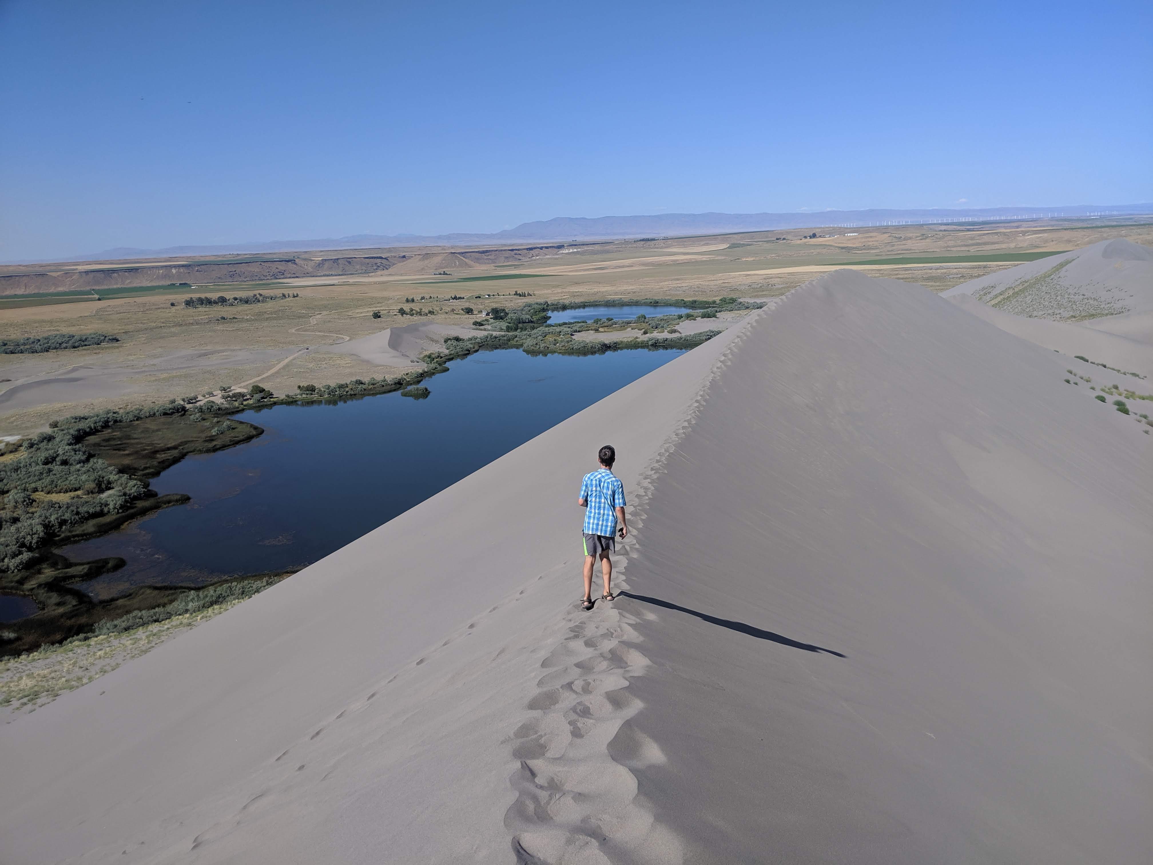
David on the sand dune. 
Looking back at my footsteps.
Sun Valley
We spent an afternoon and night in the resort town of Sun Valley. It was sunny and beautiful.
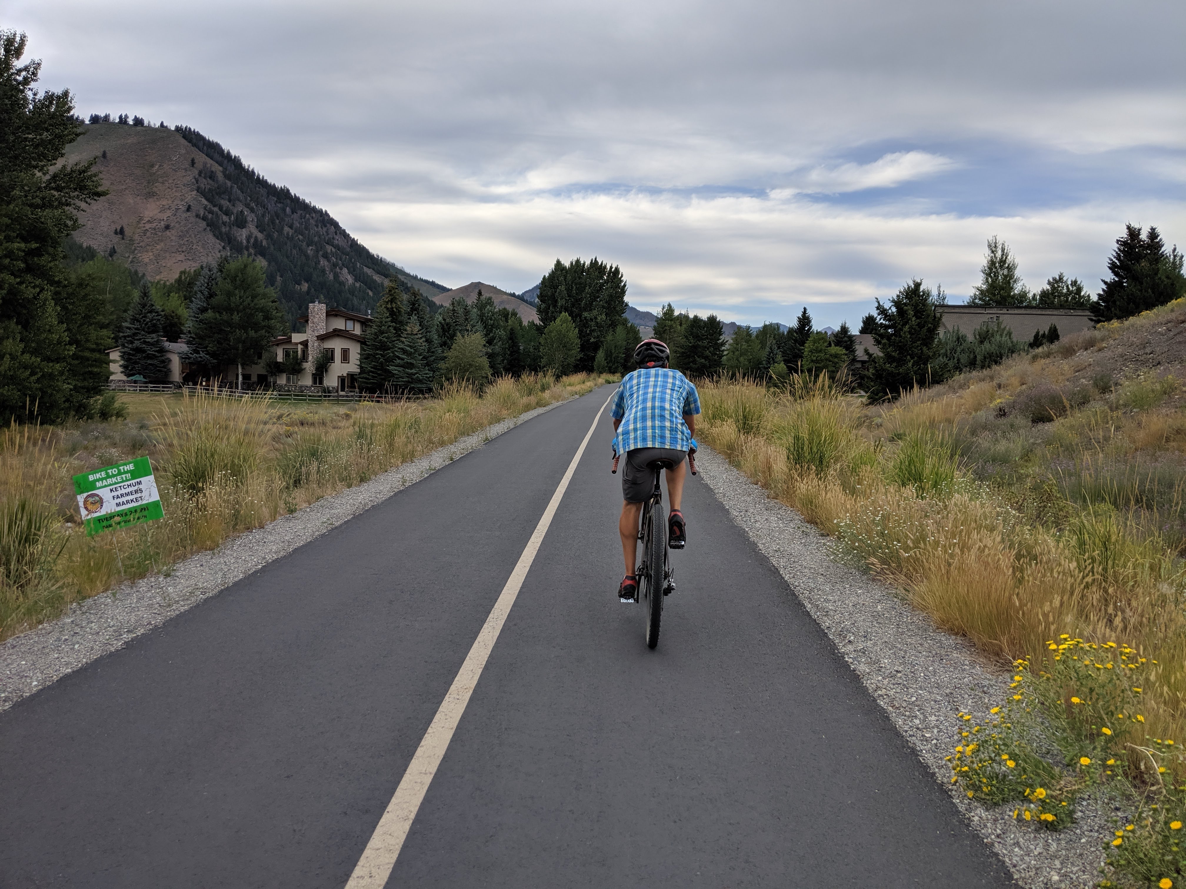
Bike ride from Sun Valley to Hailey (and a brewery). 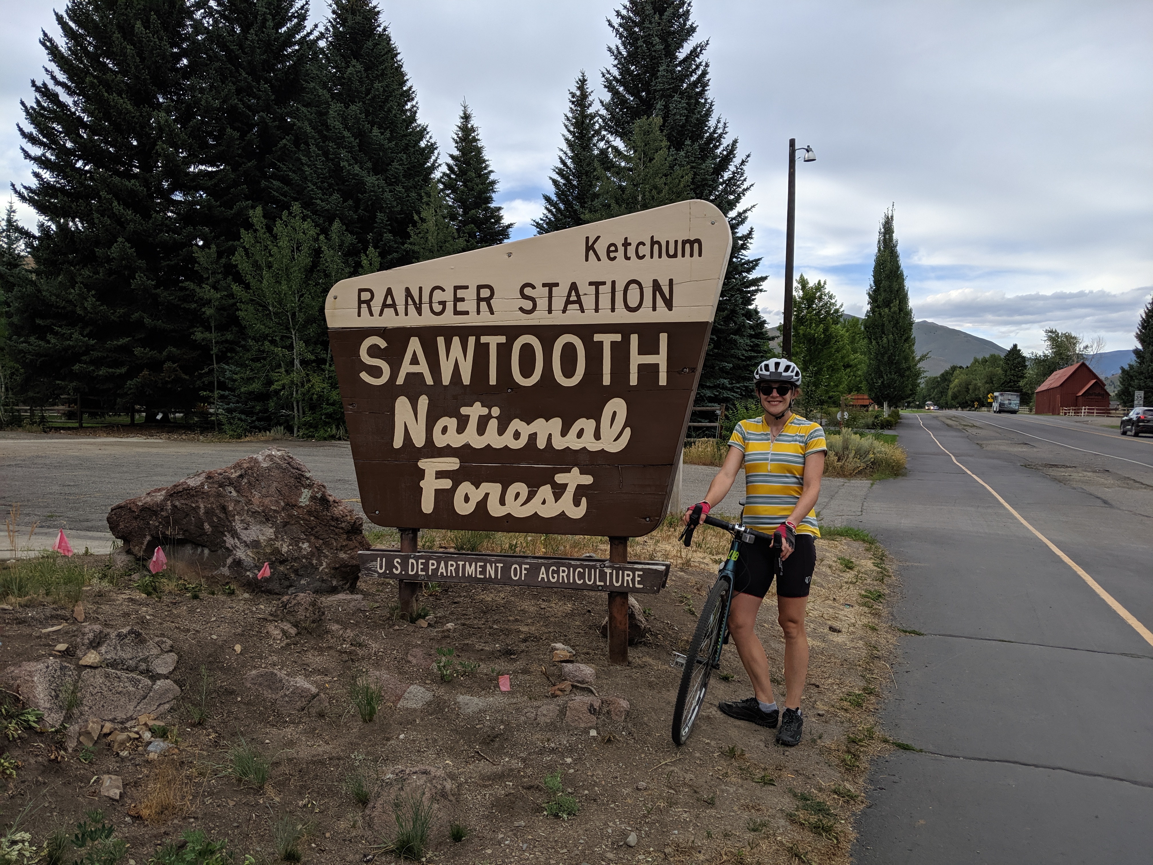
Bike ride picture op. 
Always a fan of the alpenglow. 
Camp spot just outside Sun Valley.
Sawtooths
We had intended to do a backpacking trip to Alice Lake in the Sawtooths, but had some plumbing problems at home to deal with so didn’t want to be out of service for too long (thanks, parents for going to Portland and saving the day with a shower repair job!). We still managed to have a great time in the Sawtooths, between a day hike, bike ride, and delicious breakfast in Stanley at the Baking Company.

Fisher-Williams Loop. 
The gravel bike in its element. 
Can you spot the deer? 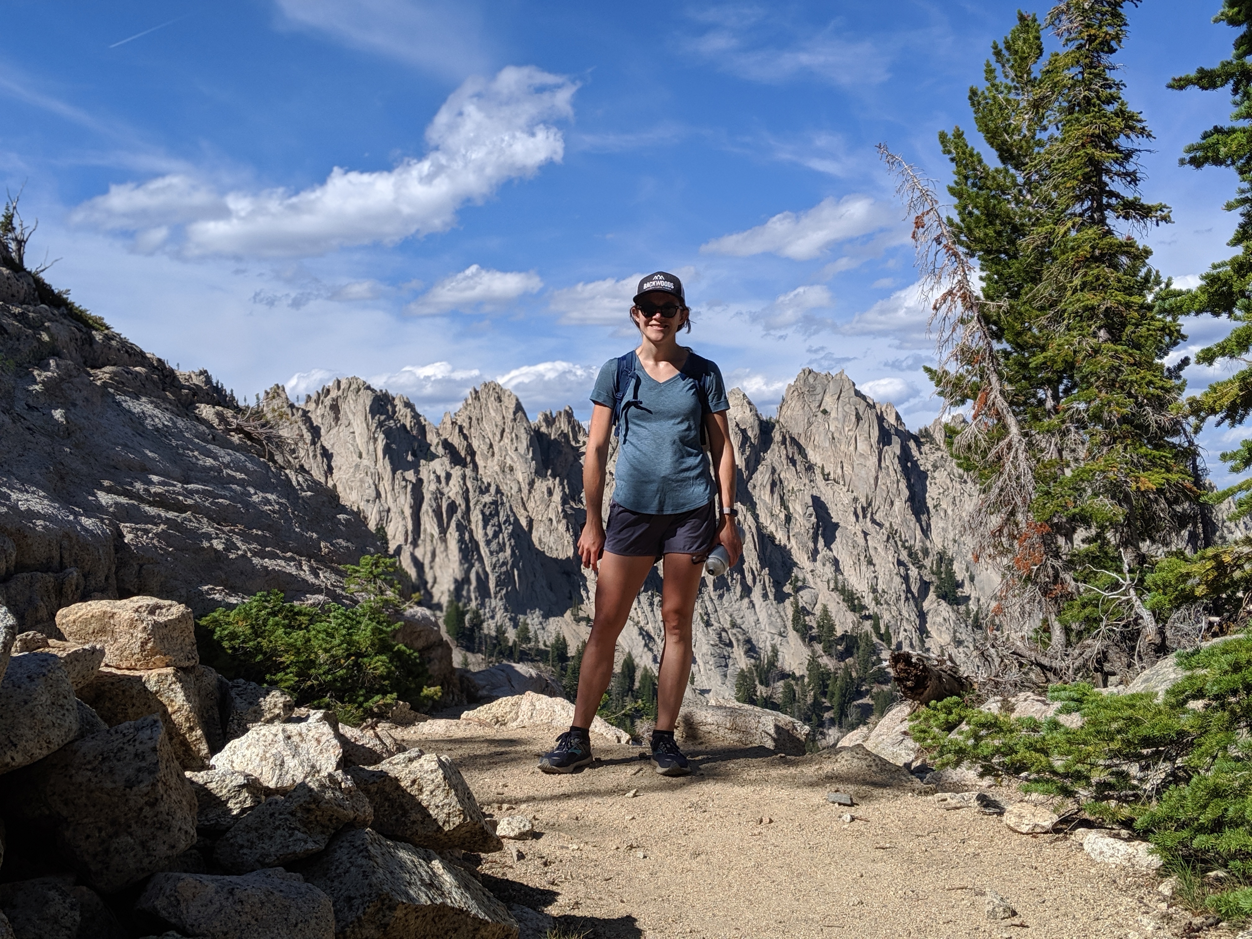
Thinking about post-hike pizza. 
Sawtooth Lake did not disappoint.
Craters of the Moon
I’ll let the pictures speak for themselves, but this place is a must-see.

It was very windy atop the Inferno Cone. 
Spatter cones. 
David on the North Crater Trail. 
Caves are cool. 
Emerging from the Indian Cave. 
Sadly no bats were spotted. 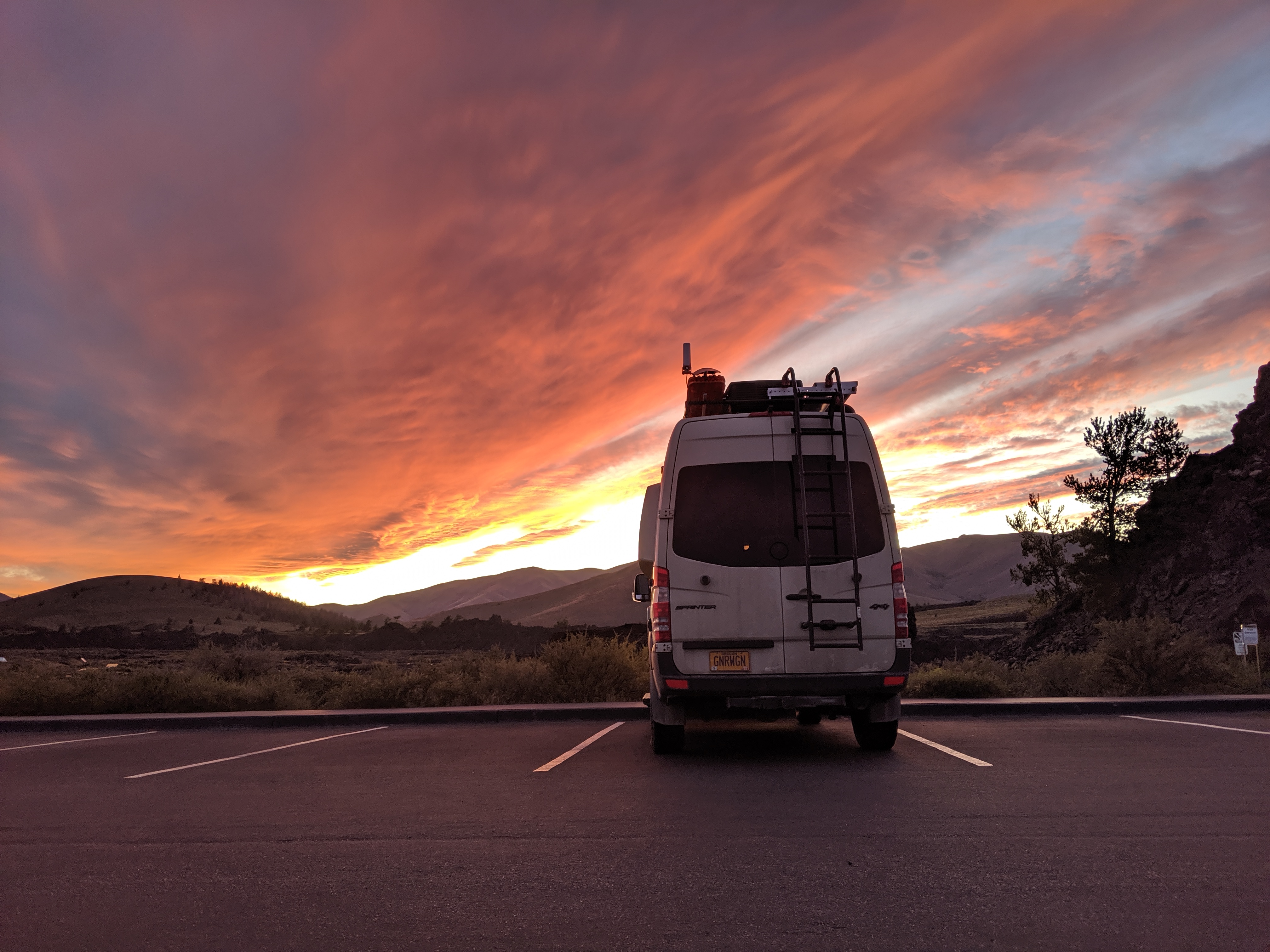
An amazing sunset to end the day.
Arco
What an interesting little city! Arco was the first city to be powered by atomic power and Idaho National Laboratory still owns a lot of land east of Arco where it houses a variety of labs. We visited Experimental Breeder Reactor-I (EBR-I), which was fascinating. I won’t try to explain too much about it, because a lot of it was over my head (despite the excellent displays and explanations!). If you want to know more, check out the INL’s website. It provides the fast facts below:
On December 20, 1951, EBR-I became the first power plant to produce electricity using atomic energy.
– Idaho National Laboratory Website
EBR-I was the first reactor built in Idaho at the National Reactor Testing Station (forerunner to today’s INL)
In 1953, testing at EBR-I confirmed that a reactor could create (or breed) more fuel than it consumes.
This pioneering reactor operated for 12 years before being shut down for the last time in December 1963.
President Lyndon Johnson dedicated EBR-I as a National Historic Landmark in 1966.

An atomic powered city! 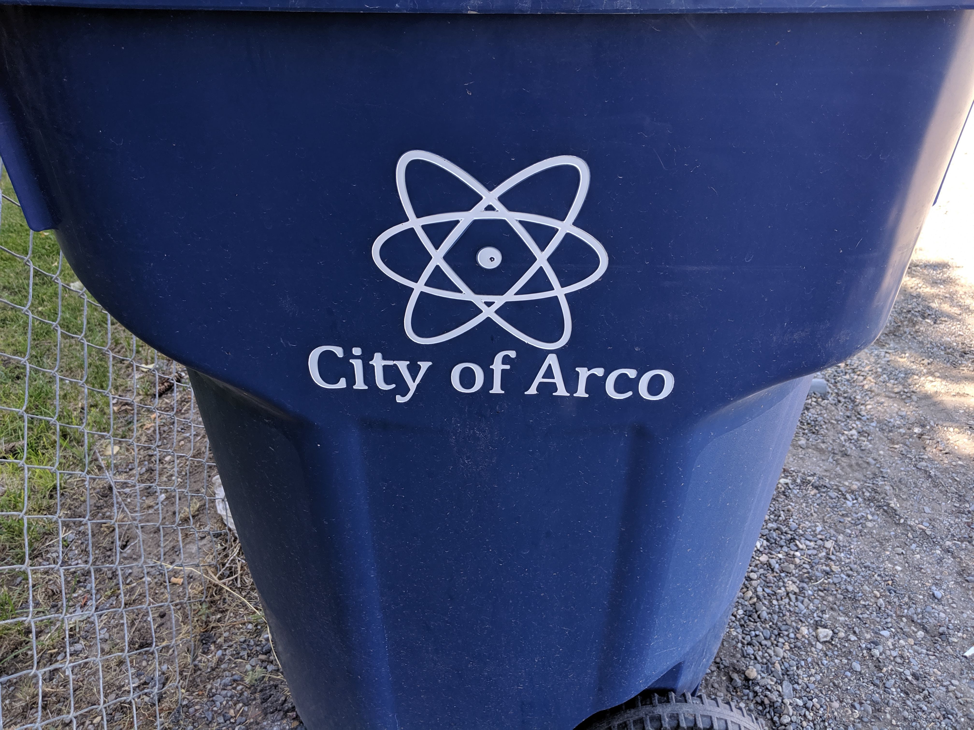
At first I thought this was for recycling… 
Very cool sign. 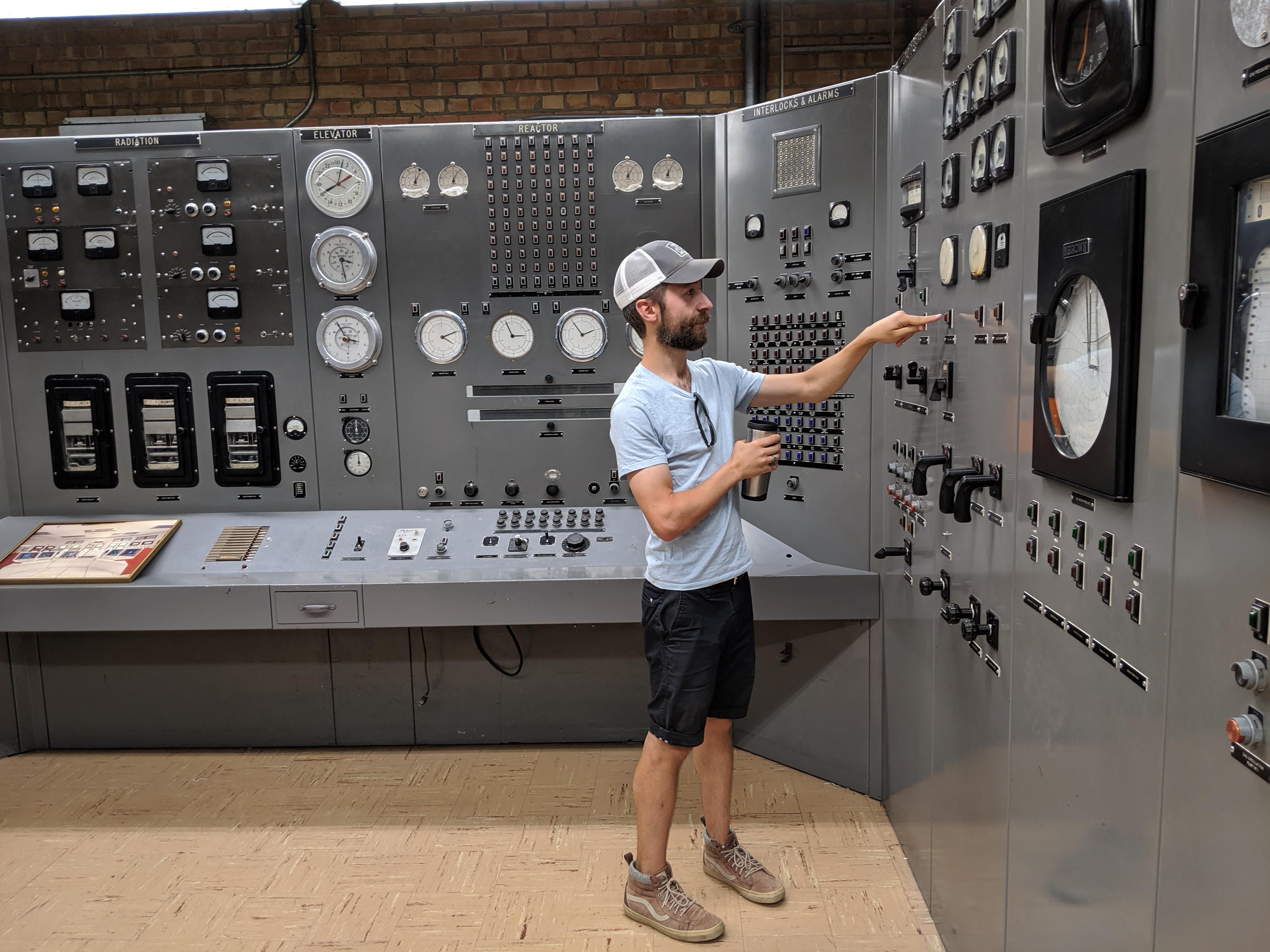
Pushing buttons. 
Watch out world. 
Hmm… 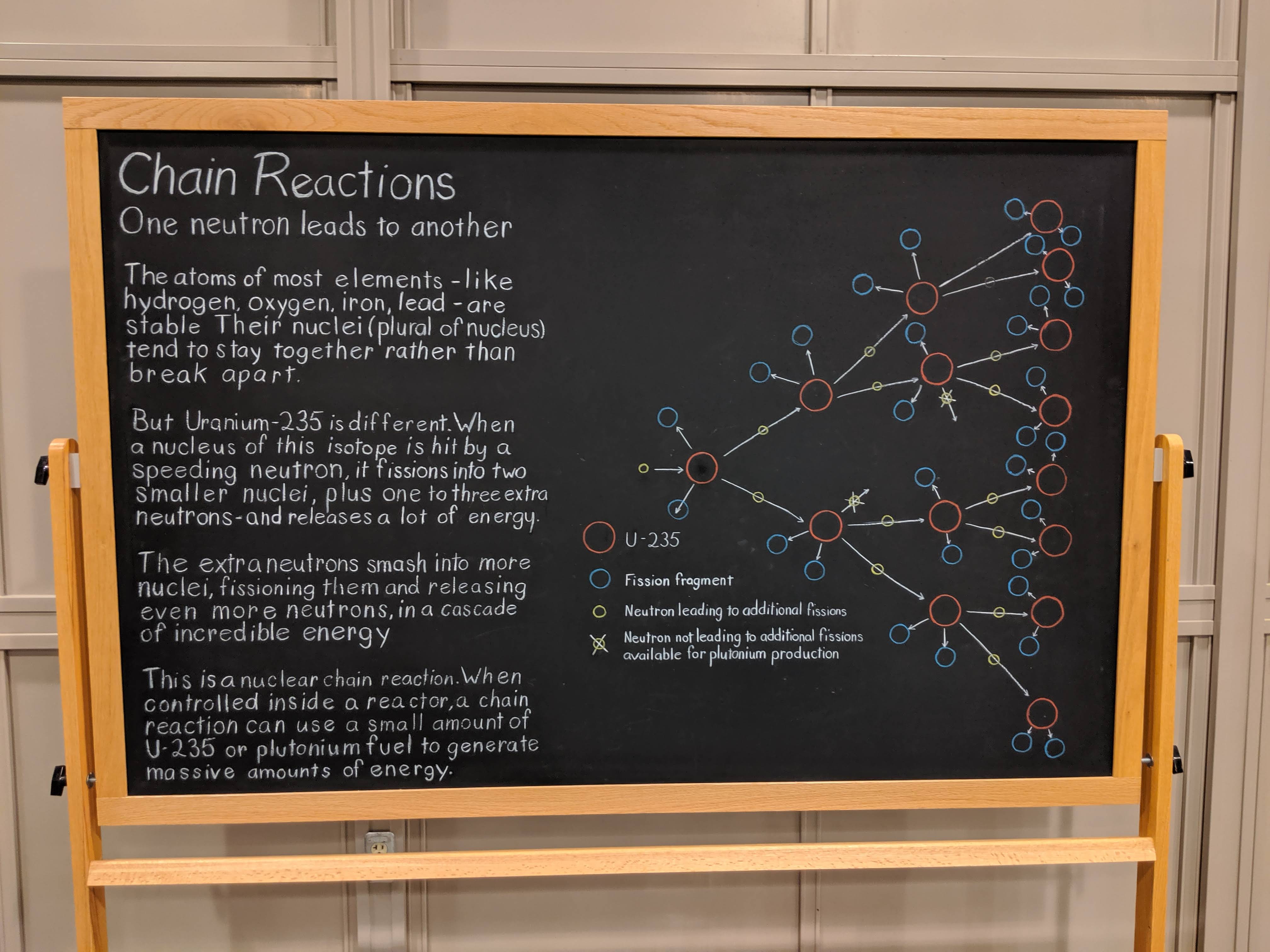
Science.
